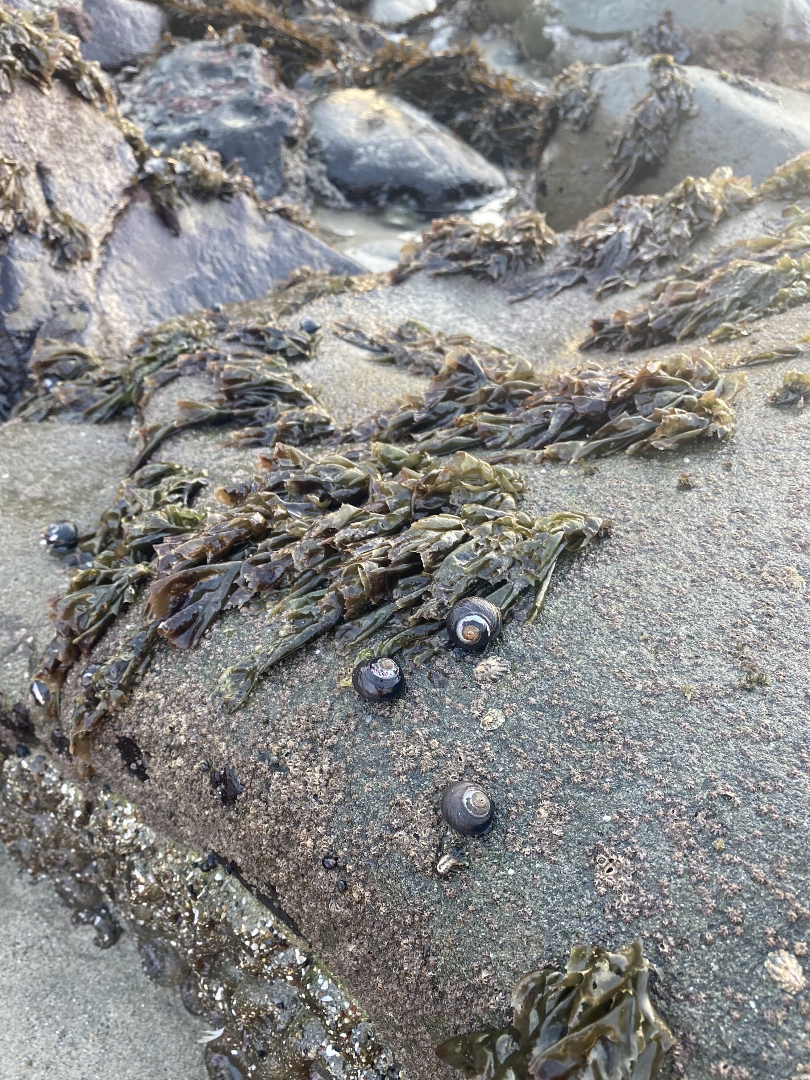
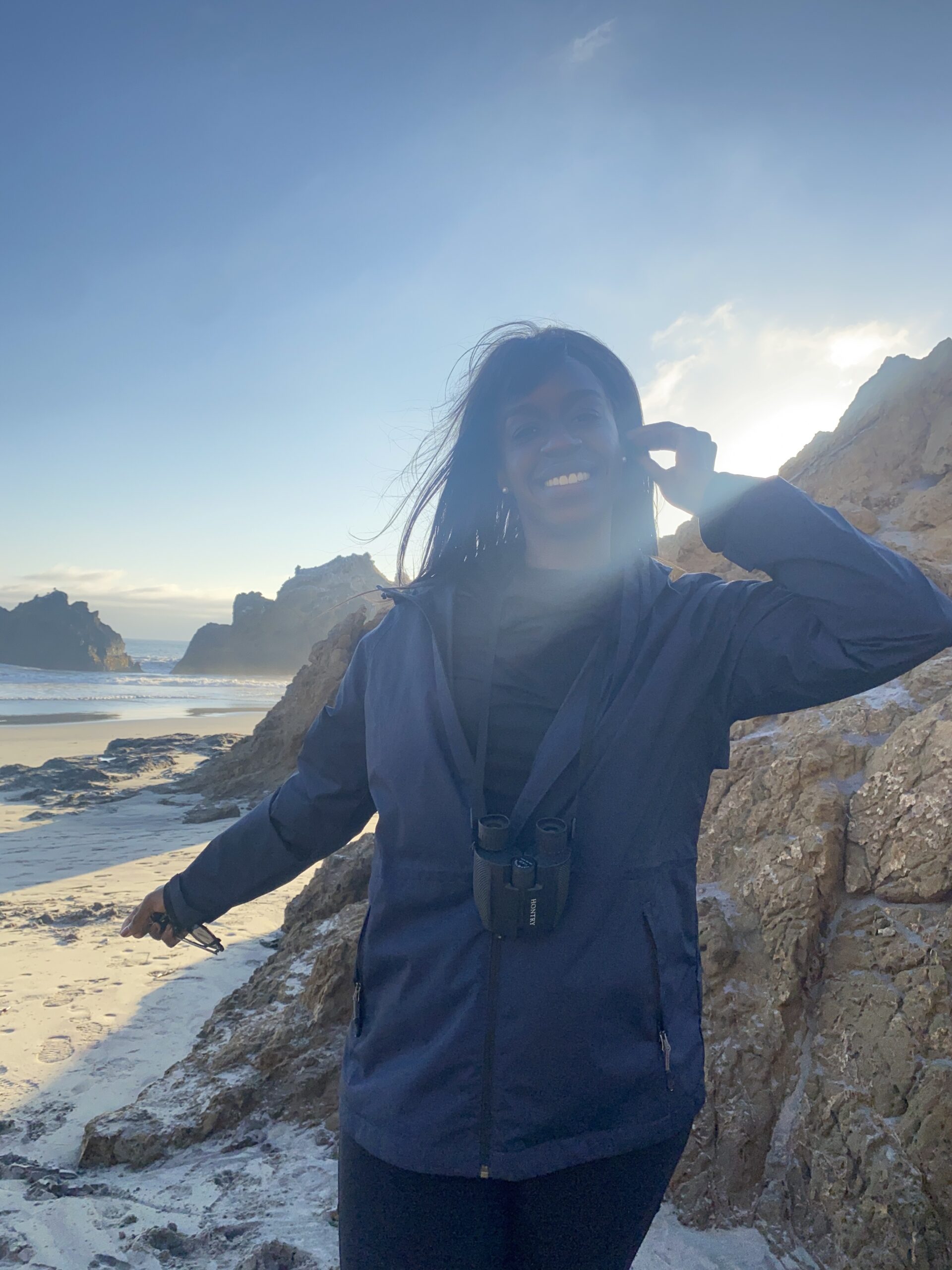
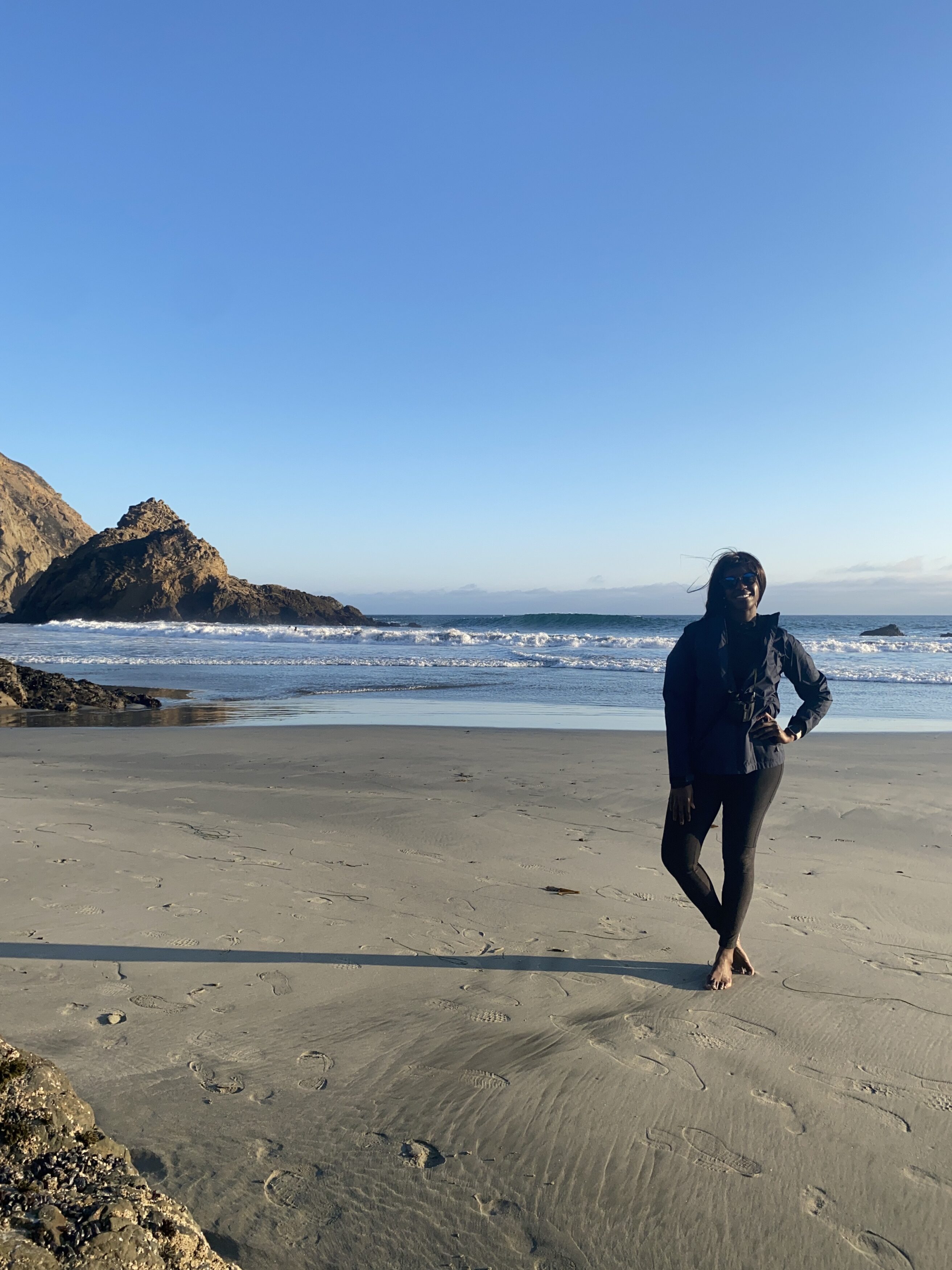
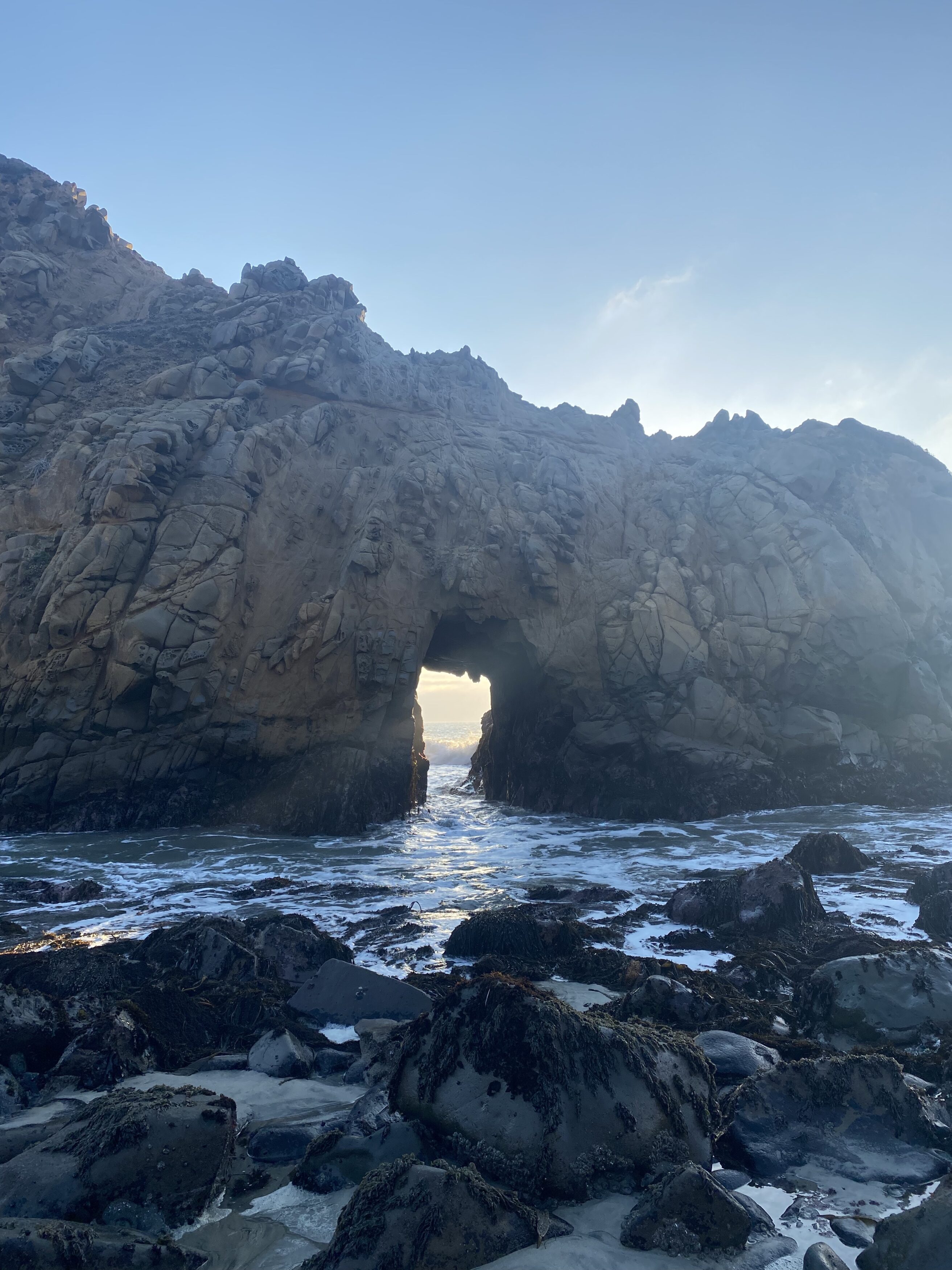
I was in Big Sur for less than 48 hours and wanted to share my itinerary with those wanting to go. It was an amazing trip, and I often think about going back to do this trip again. After Big Sur, I spent 24 hours in San Francisco before heading back to the East Coast.
Big Sur can definitely be done in a day – well at least the highlights. My biggest tip is that you’ll just need to have a defined (and realistic) number of places that you want to see and keep your eye on the time. I had limited time off which is why I didn’t stay longer in California but I didn’t let that stop me from visiting California for the first time and hitting some highlights. If I had more time, I think 4 days (2 full days in Big Sur and 2 full days in San Fran) minus travel time would have made a great trip for a long weekend.
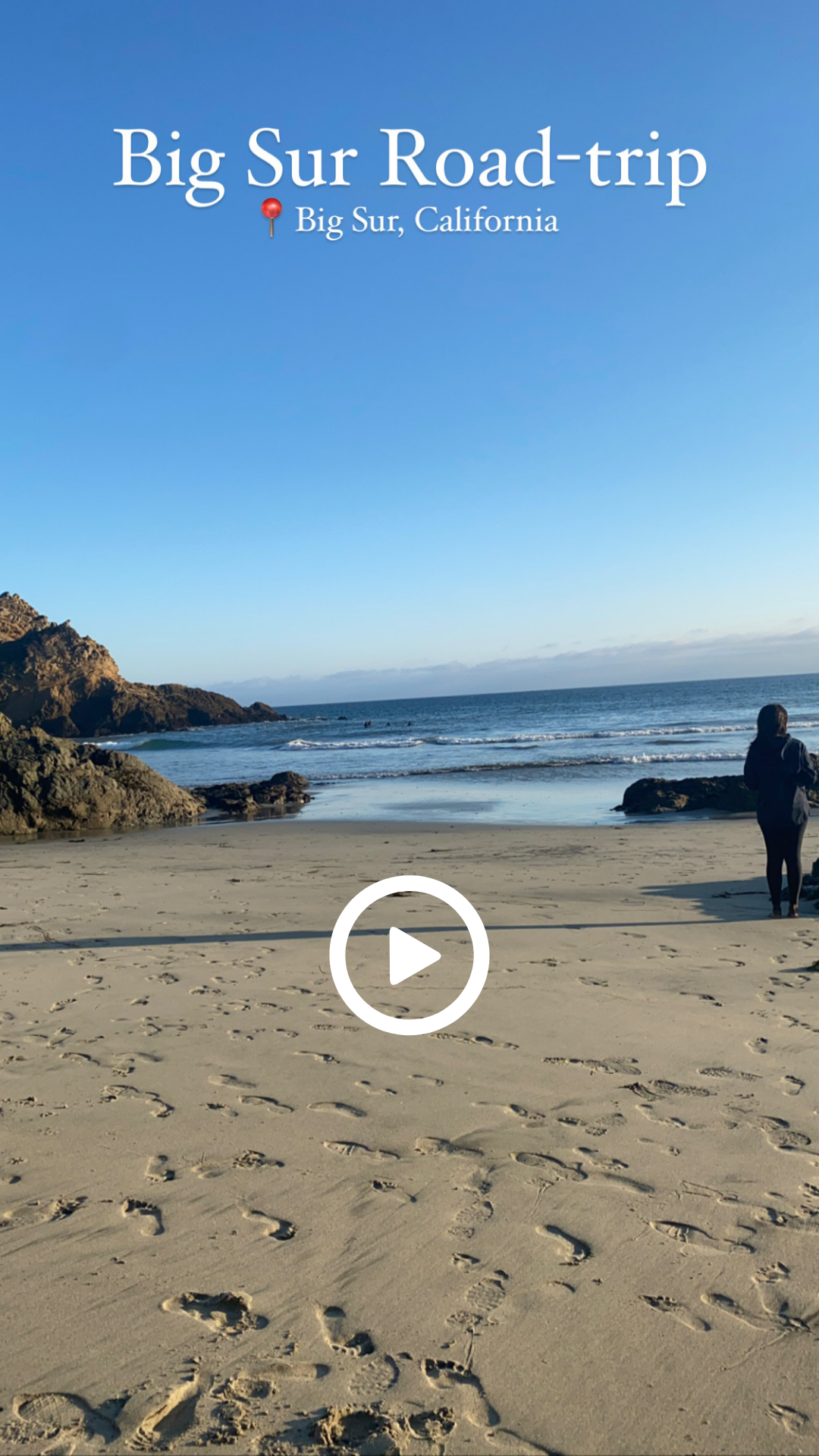
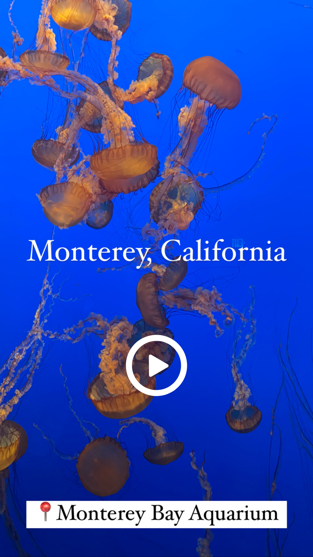
If you want to see a video/reel of my trip, click on the images below to get there!
BASIC OVERVIEW
Who: Just me, this was a Solo Trip!
When: Tuesday – Friday October 2022 (Half of Tues + Wed Big Sur/Monterey; Thurs + half of Friday San Fran)
Flight Info: Flew from the East Coast to SFO airport & flew out of SFO airport as well
Lodging: Holiday Inn Express at Monterey Bay, an IHG Hotel by Monterey & Hotel Riu Plaza Fisherman´s Wharf in San Franciso
What I did: Monterey Bay Aquarium, explored Monterey and Caramel by the sea, Drove down Big Sur and did the highlights, and lastly Explored San Francisco
Transportation: Rental car for Big Sur (a must) and Rental car + Uber in San Fran
Food: New England Lobster Market & Eatery, Old Fishermen’s Grotto, Big Sur River Inn, In-N-Out Burger, Delarosa Marina, and Abrazo. Breakfast was at the Holiday-Inn Hotel (included) in Big Sur
Luggage: One carry-on (roller suitcase) + one personal item (Bookbag)
Weather: It was chilly (sweaters/long sleeves are ideal) but it wasn’t freezing.
Type of Vacation aka the VIBES: Definitely all about exploring (mostly in Nature) & seeing wildlife with a defined itinerary!
DAY 1: ARRIVAL + MONTEREY AQUARIUM + OLD FISHERMAN’S WHARF
Flight and rental Car: I flew into San Francisco International Airport (SFO), and it was supposed to land around 11:00 a.m., but landed way earlier around 10:20 a.m. or so, and then I went to pick up my rental car. I rented from Thrifty Car Rental (got a compact car which did the job). I have no complaints about the experience with them. They did try to upsell me at the counter but besides that, it all went well. From SFO to the car rental area, I took the AirTrain Blue Line which is a rail system integrated into the airport which takes passengers to car rental, long-term parking, and other terminals within the airport. The rail system is free and pretty easy to understand – see the photo below.

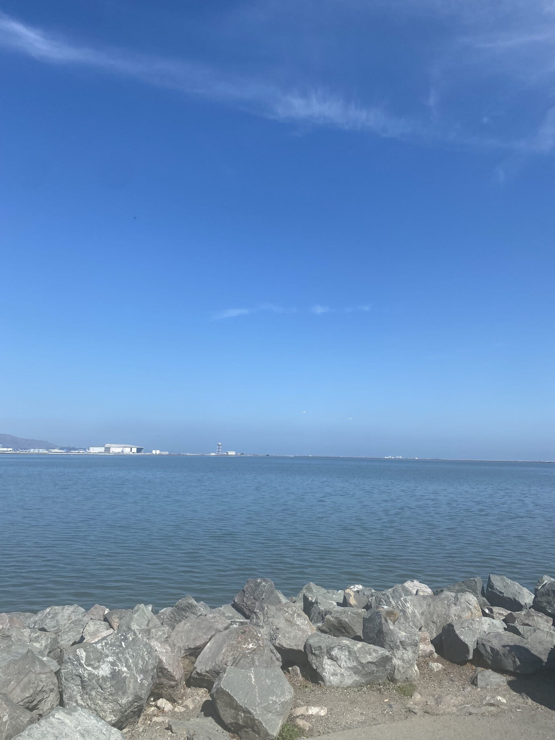
After loading up the car, I headed for some food at a restaurant that was recommended to me called New England Lobster Market & Eatery at 824 Cowan Rd, Burlingame, CA 94010. I got the Lobster roll and chips. While it WAS good, it wasn’t the best one I’ve had – I’d give it a 7/10 and probably wouldn’t go back again. This restaurant is right next to Bayfront Park, so after my meal, I walked over to sit and take in the California beauty and watch planes take off over the water before heading to a nearby grocery store around Noon for some water and snacks to have for the long drives coming and then made the drive to Monterey.
Pro-Tip: When you’re road-tripping down Big Sur, be sure to have water and snacks/food just in case you get hungry and to stay hydrated! Also, have a backup charger bank or car charger for your phones/devices.

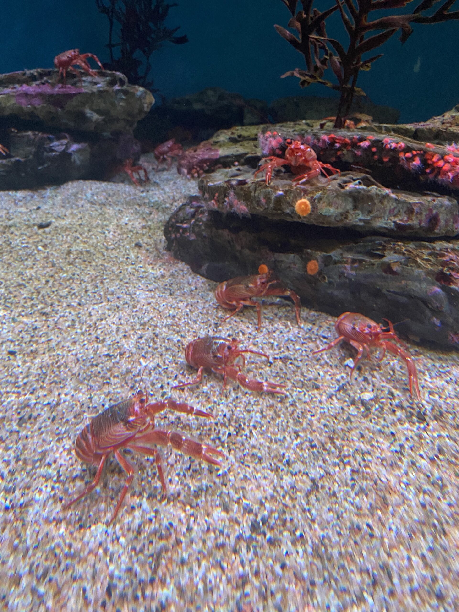
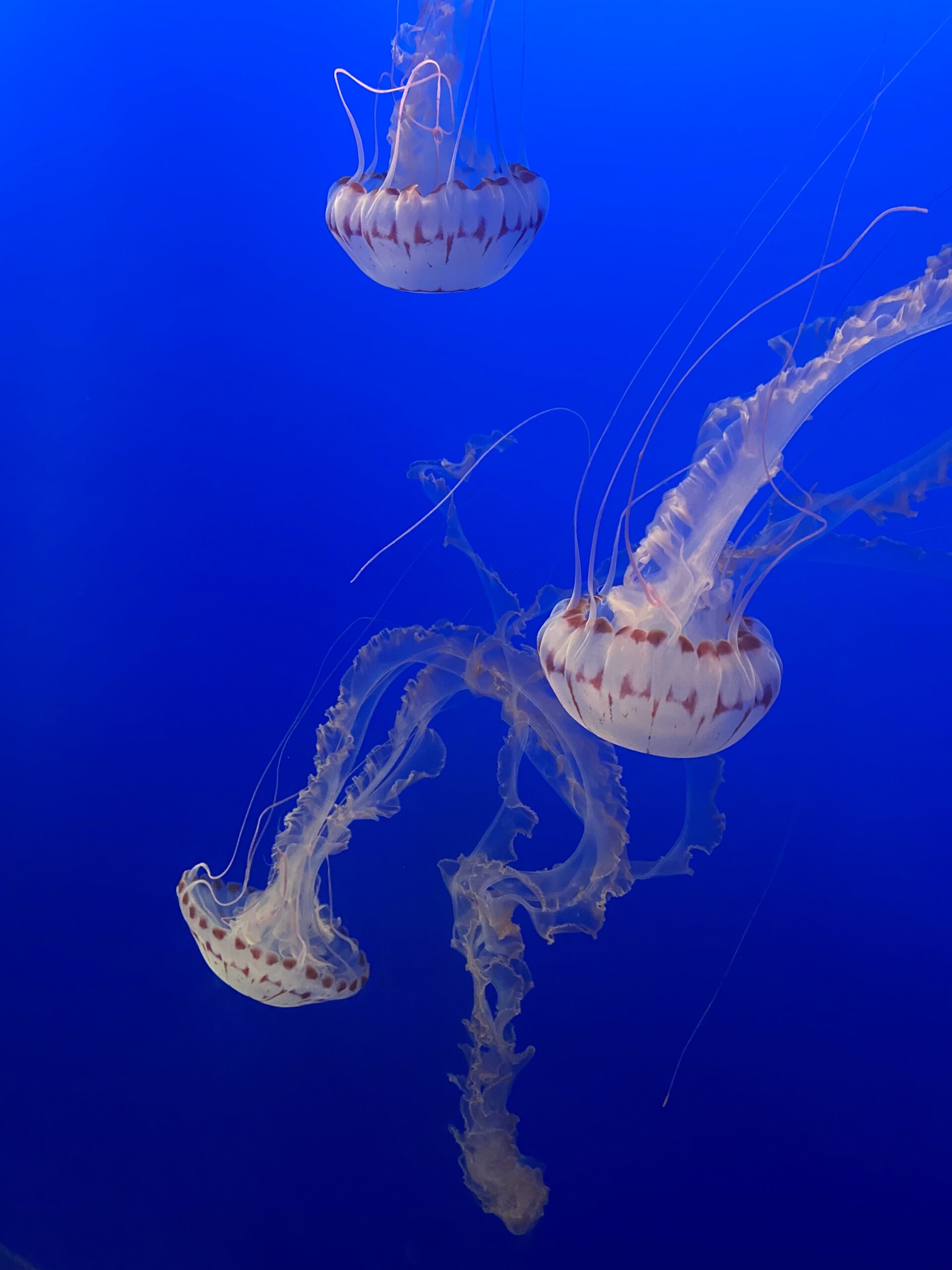
Aquarium: The drive from SFO to Monterey is about 2 hours and wasn’t bad at all! Since it wasn’t time for check-in, I went straight to the Monterey Bay Aquarium at 886 Cannery Row, Monterey, CA. I purchased my tickets on my phone when I arrived as I did want to go but wanted to make sure I’d make it on time especially going right after a flight. I must say the tickets were pricey ($49.95 in 2022) but I just love aquariums and this one is amazing so it was worth it. I used street parking which was reasonable ~$4 and headed inside around 3:00 pm and left around closing at 5:00 pm. I would definitely go to that aquarium again, it was amazing! I went closer to closing which meant there were little to no crowds which made the experience that much more amazing. Monterey Aquarium is the best aquarium I’ve been to hands down. After that, I headed to my hotel and checked in.
If you have time (which I didn’t) and if it’s at the right time of the year, check out the Monarch Sanctuary in Pacific Grove at 250 Ridge Road off of Lighthouse Avenue if you want to see the Monarch butterflies. According to what I read, the butterflies are more active around 12-3 pm.
Hotel: I stayed at Holiday Inn Express at Monterey Bay, an IHG Hotel which is in Seaside at 1400 Del Monte Blvd, Seaside, CA 93955. I chose this hotel because (1) it was the most affordable decent hotel I could find – I couldn’t justify the prices of many of the Monterey + Carmel By the Sea Hotels I saw especially since it was a room for one and most of my time wouldn’t bet at the hotel. (2) There was free parking which many of the nearby hotels didn’t offer and (3) there was free breakfast – while it wasn’t gourmet breakfast, it gave me more freedom to put more of my money towards other meals and cut down on the time to go to a sit-down place since I did have limited time and wanted to explore. The hotel was a good hotel, in my opinion. It’s your standard 3-star hotel, clean, and had everything I needed for my stay. I would say, if you can, get a room facing the pond in the back of the hotel – the front of the hotel is on a busy road so it can be hard to sleep if you’re a light sleeper. The hotel is also right by an In and Out Burger, a gas station, a few restaurants, and a short drive (~15 min) from Monterey and Carmel by the Sea which was convenient.
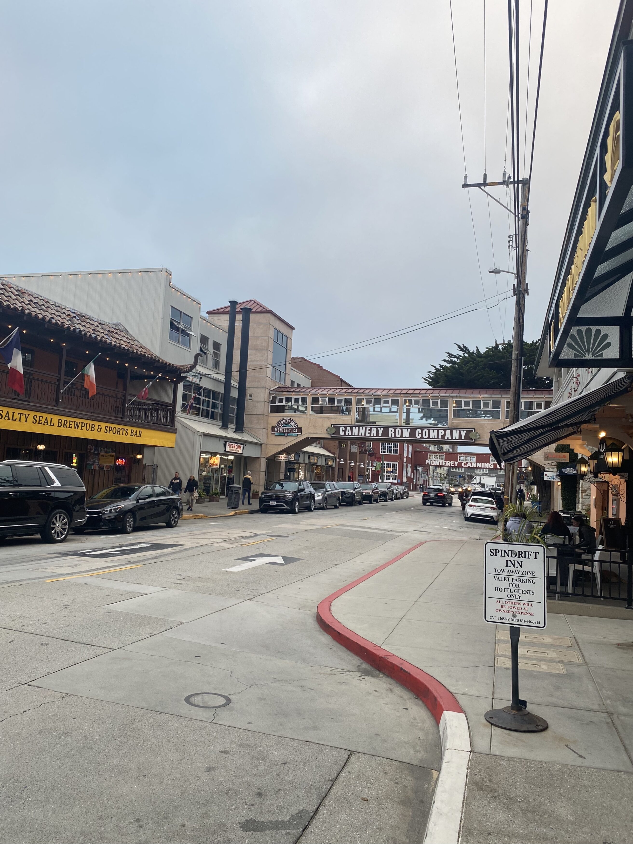
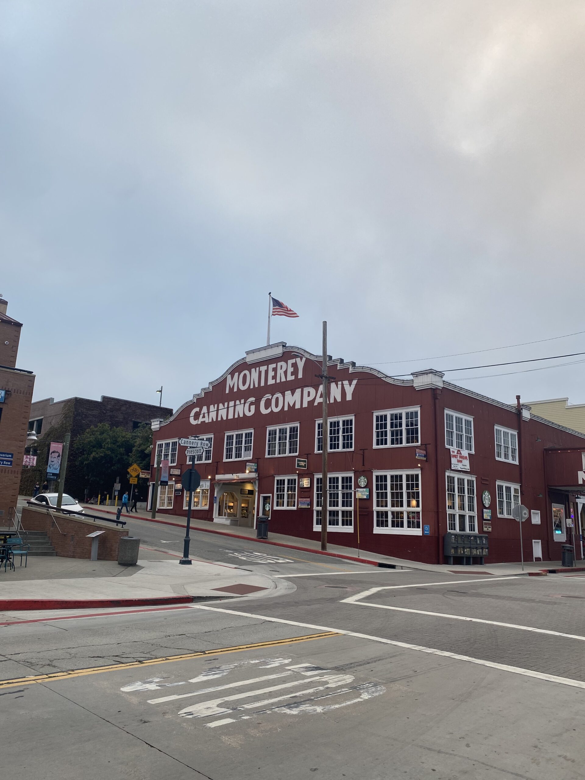
After checking in and getting ready for the evening, I headed to Cannery Row around 6:00 p.m. to check it out. I didn’t stay there for long but if you have time, it is a cute place to explore with shops & it’s VERY close to the aquarium, so you can double up on those activities. If you’re limited on time, for sure just skip Cannery Row or drive through it in your car. I then went to Old Fisherman’s Wharf for dinner and used the street parking. I strolled on the pier/boardwalk to watch the sea lions which seemed to roam along the beach freely which was really cool. There are many different restaurants and shops along the pier and even excursion companies offering tours like whale watching and other ocean activities (which I didn’t have the chance to do) but probably would’ve if I had an extra full day there. If you want to see more wildlife, check out the Breakwater Cove and/or the Coast Guard Pier for sea lions!
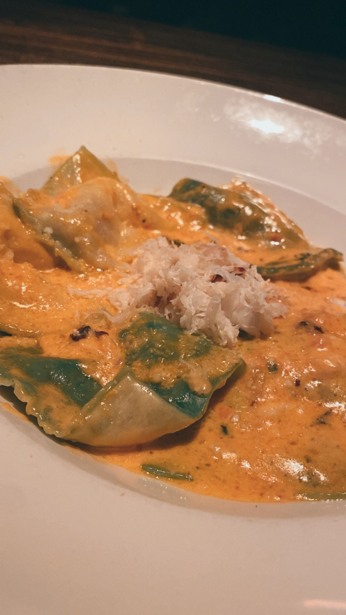
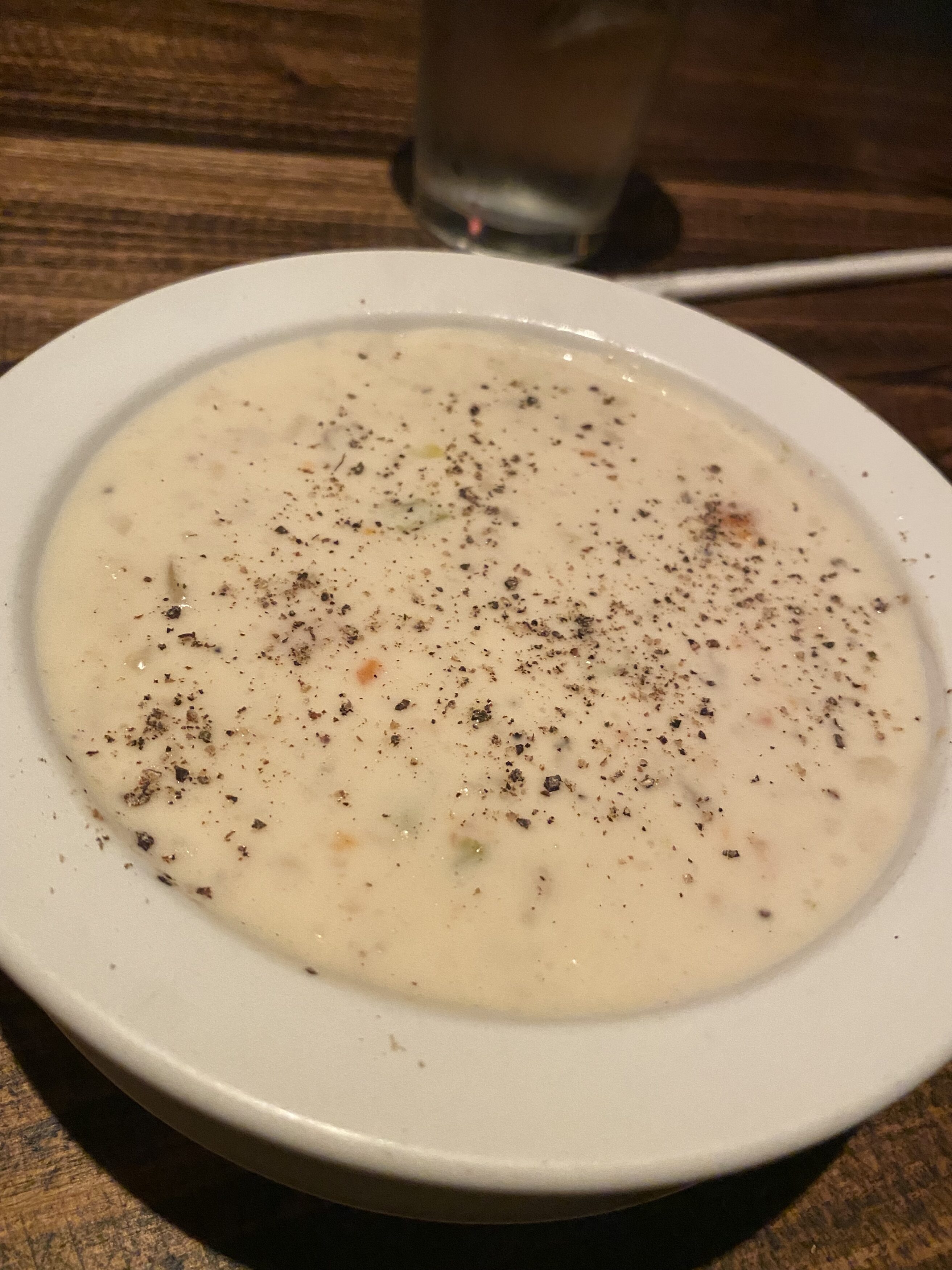
Dinner: I chose to eat at Old Fisherman’s Grotto which was AMAZING! 10/10 would recommend this place – the food, the vibes, and the service! There’s also indoor seating with a head-on water view. I ordered the Crab Ravioli with a side of the famous Clam Chowder and it was so good, I wanted to come back the next night! I would definitely eat there again. After dinner, I headed to my hotel around 8:00 p.m. to prepare for the next morning – BIG SUR drive!
DAY 2: CARMEL-BY-THE SEA + DRIVING DOWN BIG SUR
I got up early prayed and read, got some breakfast from the hotel breakfast buffet which was decent, and then headed out. I stopped to get gas first because I wanted to have a FULL tank of gas when driving down the coast – better safe than sorry.
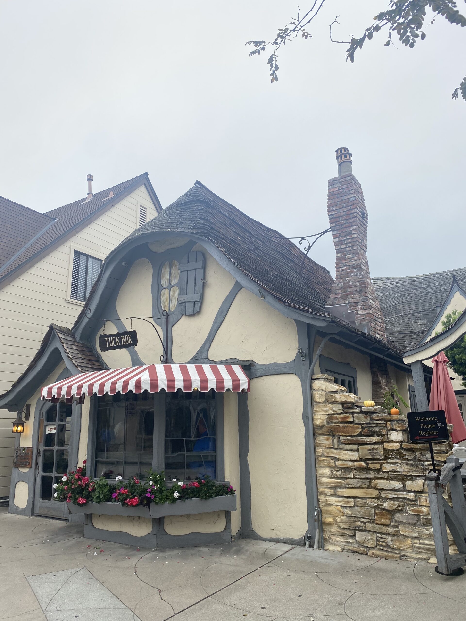
I started at Carmel By the Sea because I really wanted to see this cute town. Although I did have limited time, I drove around to see some of the cute cottages. I parked on E. Dolores Street to get some photos of the cute buildings and walk into some shops. If you’re looking for a breakfast spot, check out The Tuck Box, I didn’t eat there, but I’ve heard good things! I finished exploring the area around 9:30 a.m. before I started my road trip!
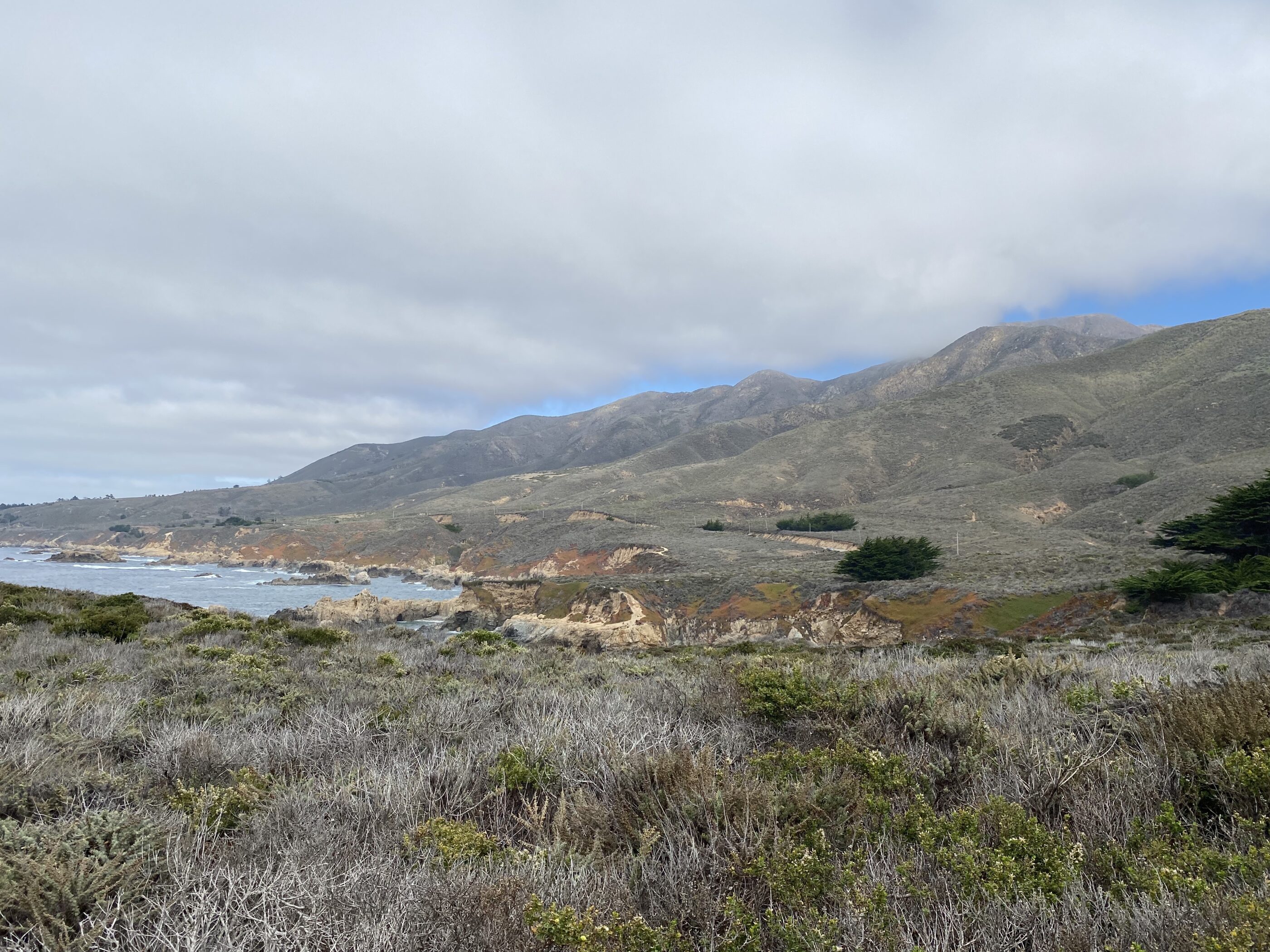
Weather/Fog: When I officially started the Big Sur road trip, time, it was VERY foggy and I was nervous that the entire day would be foggy (aka marine layer) and I wouldn’t be able to see the sights, but it cleared up which I was so grateful for. Throughout this blog, you can even see the progression of the sky opening up and the sun coming out.
Pro Tip: Checking the typical weather before you book your flight/accommodations and checking the weather/road safety (closures, flooding, rock, and mudslides) the days leading up to and the day of driving down Big Sur is really important as well since things can change day to day.
While there are MANY stops you can make along Big Sur, I read a lot of blogs and curated my own list of places I wanted to see with the time that I had. Find the list of the places I went below in the chart and further down I detail out my thoughts on each stop. I did run out of time (wanted to head back before it got dark) because I spent A LOT of time at certain sites which I should not have done, but hey, you live you learn.
Here’s a chart to make it super easy of the places in order and I’ll talk more in detail below
| Places I Went | Places I Wish I Skipped | Places I Missed |
| Point Lobos State Natural Reserve ($10) | ||
| Soberanes Canyon / Garrapata State Park Bluff Trail (Free) | ||
| Bixby Creek Bridge (Free) | ||
| Lunch: Big Sur River Inn | ||
| Pfeiffer Big Sur State Park | Pfeiffer Big Sur State Park | |
| Pfeiffer Beach ($10) | ||
| Mcway Falls At Julia Pfeiffer Burns State Park | ||
Technically, Big Sur is a region with a vague Start and End Point. When I was planning, I put the starting point as Point Lobos State Natural Reserve and the end Ending at Hearst Castle 750 Hearst Castle Rd, San Simeon, CA 93452.
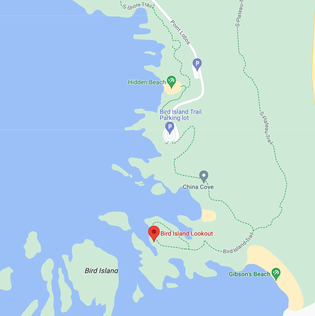
Here is a list and helpful map of common stops if you’re more of a visual person.


Pro-tip: Before you go, plan out your route with Google Maps. Save all the locations on a custom list within the Google app. After you’ve done that, download the offline map of the area (using the Google app) as the cell service is spotty to none in Big Sur. It is pretty hard to get lost as the main highlights are right off the main road, but it’s best to have the offline map pre-downloaded.
I started from the North (Carmel by the Sea) and went South – which seems to be the most convenient way to do the road trip. All directions below are assuming you came from the north and are driving south as well.
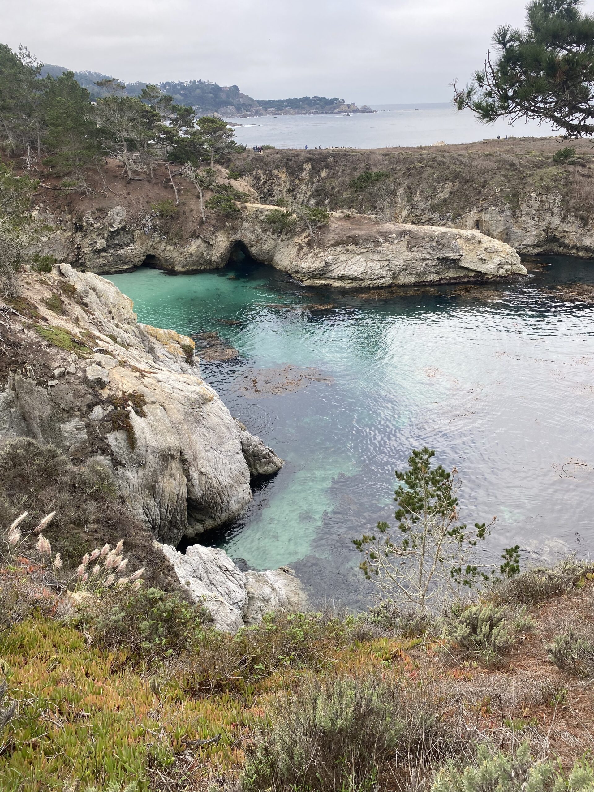
1. Point Lobos State Natural Reserve: China Cove + Bird Island Lookout + Gibson Beach
Carmel by the Sea (Tuck Box) to Point Lobos Bird Island Trail Parking Lot = 20-minute drive
- I loved this stop and I would say it’s a must!
- I got here around 9:50 am
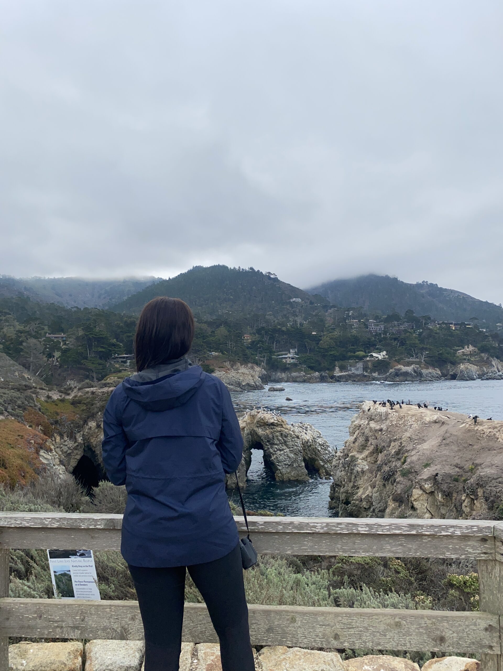
- Where I went: China Cove, Bird Island Lookout, and Gibson Beach which are on the Southern part of the park
- How to get there: Put ‘Bird Island Trail Parking Lot’ into your map/GPS. When you drive into the park, don’t park in the initial lot you see when you first drive into the park, rather go all the way down to the end where the GPS leads and you’ll see a roundabout small parking lot. Park there. There’s a set of stairs to the left (if you’re looking at the ocean) and you‘ll find your way to the Bird Island Lookout and China Cove. While on your way to the Cove and Lookout, you’ll see signs for Gibson Beach. After I finished at the Cove and the Lookout, I went down some stairs onto the sand of Gibson Beach (you can see the beginning of the stairs on the right hand side of the photo below). This entire stop is so beautiful! Point Lobos is also a protected area for sea otters so you’ll see tons!
- Pro Tip: the $10 you pay here is valid for all California state parks for 24 hours (not all of the stops for Big Sur are considered California state parks, however).

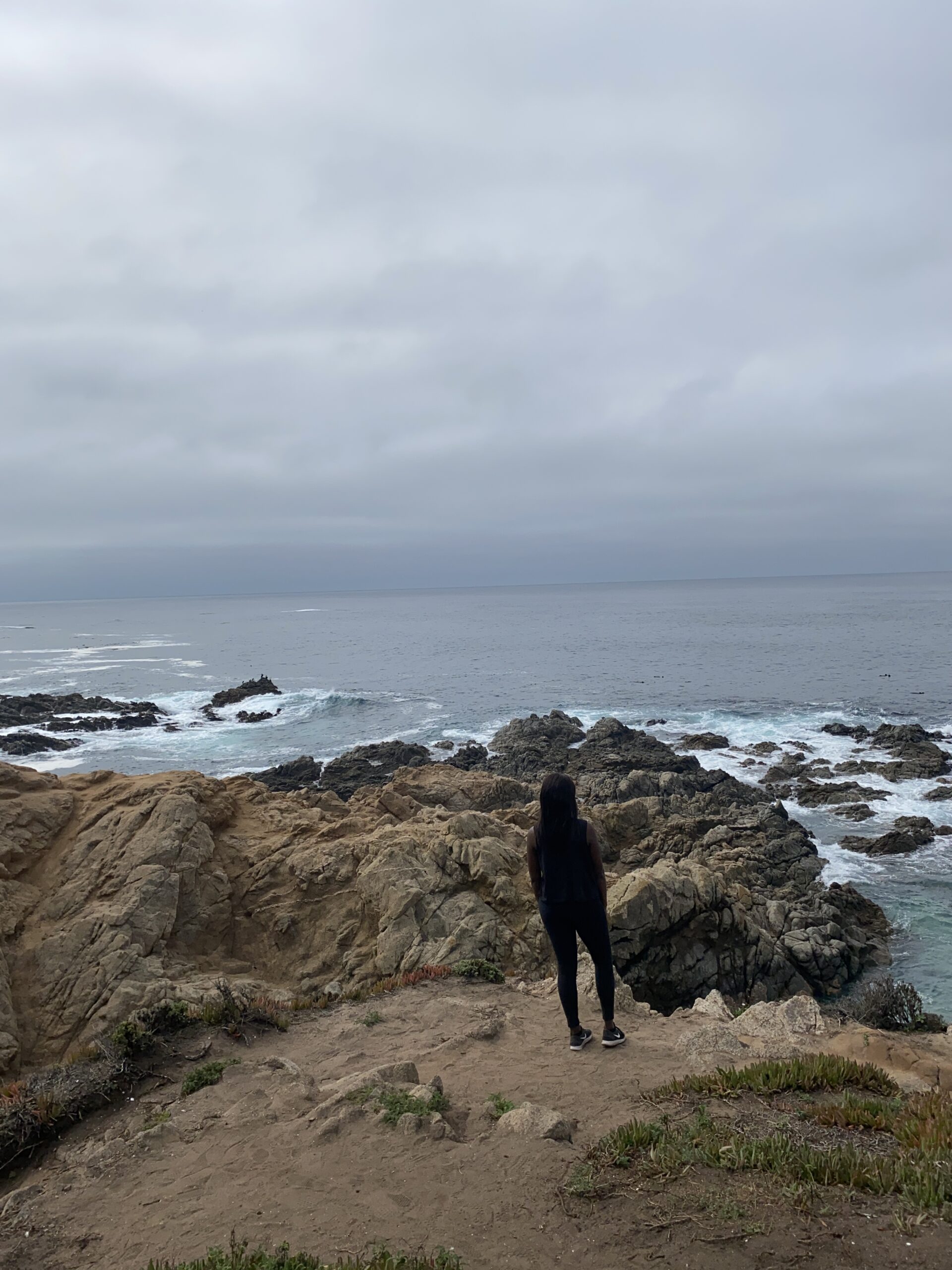
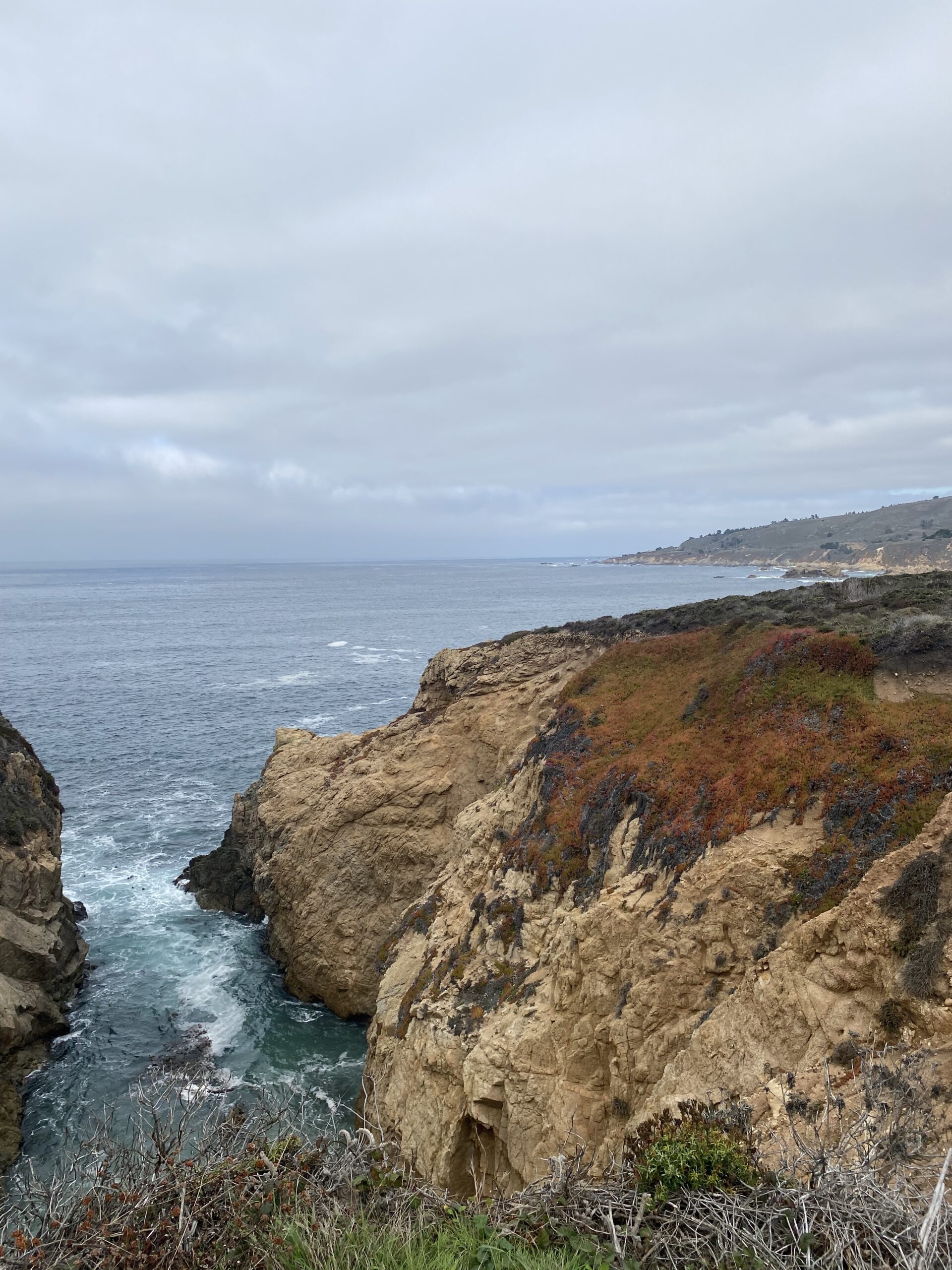
2. Soberanes Canyon/Garrapata State Park Bluff Trails
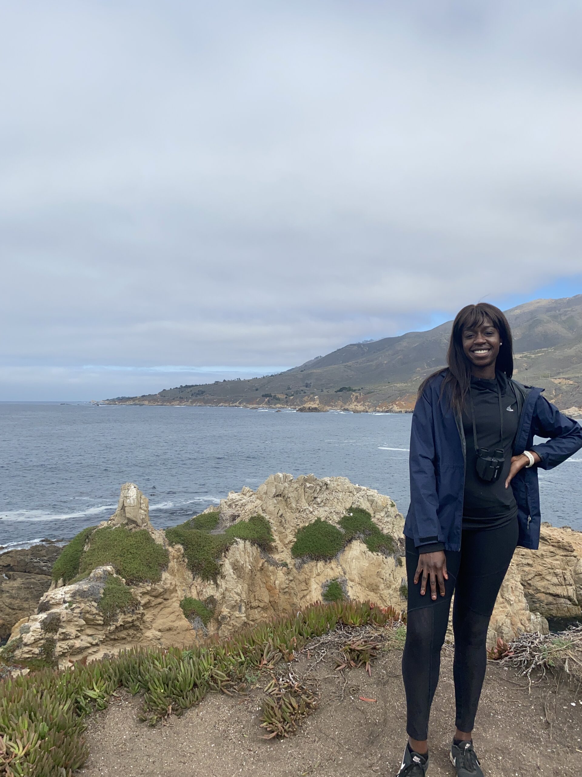
Point Lobos to Soberanes Canyon/Garrapata State Park Bluff Trails = 15-minute drive
- I loved this one too and would recommend stopping here even if it’s for a little bit of time. Has a lot of great photo ops and I ended up spending a good amount of time here.
- I got here around 11:20 a.m.
- There isn’t a real parking lot for this one. I pulled off to the left side of the road (the state park being on the right side) and crossed the road on foot to get to it. You can put ‘Soberanes Canyon Trailhead‘ or ‘Soberanes Point Trails: Gate 8’ into the GPS/map to get to the general area. When I crossed the road, I went to the left and passed under a row of trees then went straight ahead towards the cliffs, and walked along some of the footpaths.

3. Bixby Creek Bridge
Soberanes Canyon/Garrapata State Park Bluff Trails to Bixby Creek Bridge = 10 minutes
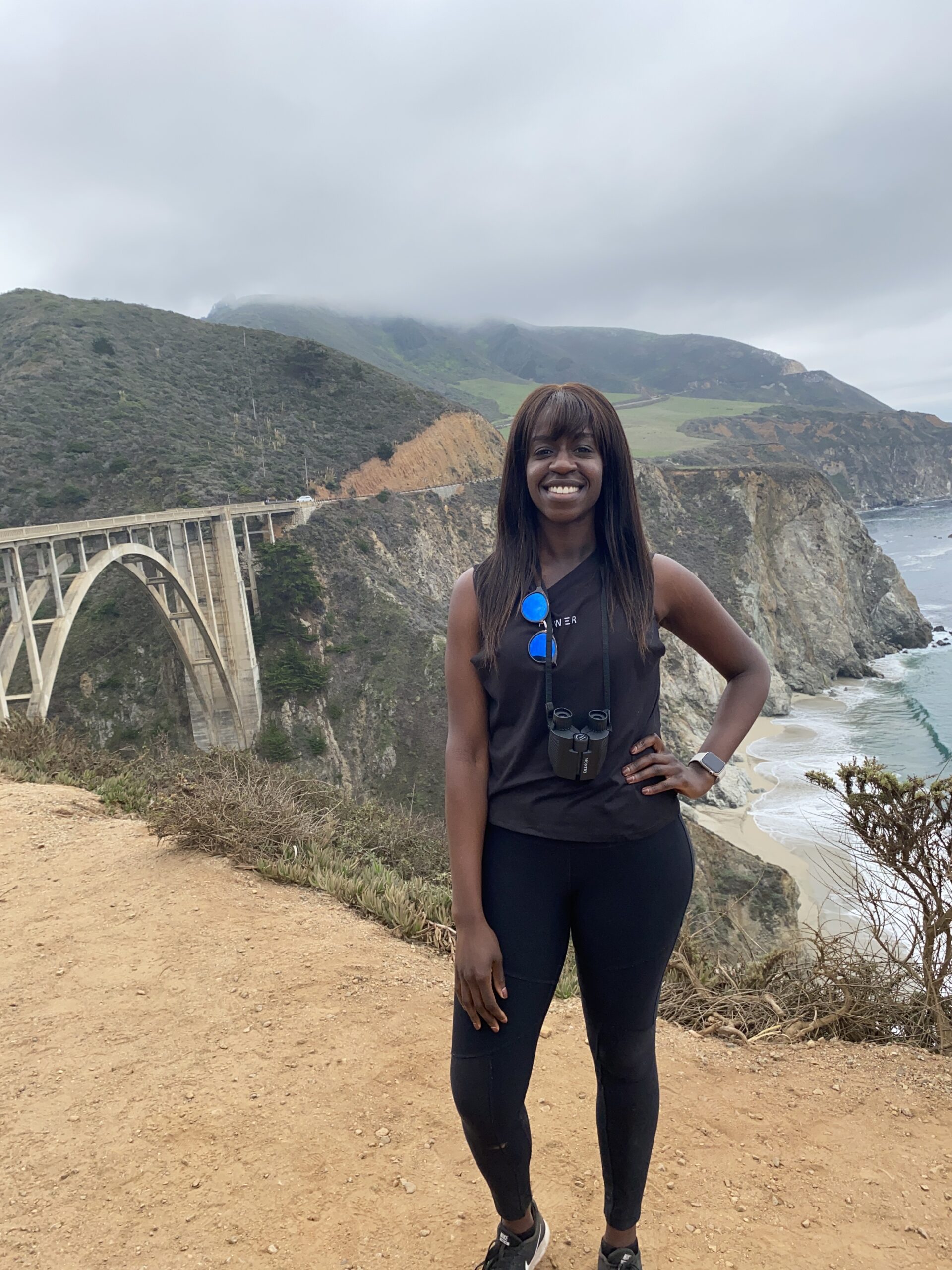
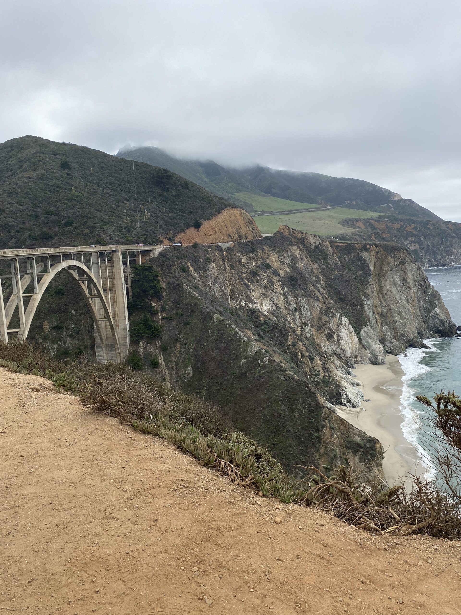
- This is a classic stop and a MUST! It’s really pretty and a good stopping point to have some snacks with a view.
- I got here around 12:45 pm
- Put ‘Bixby Creek Bridge’ into your map/GPS and it’ll lead you to the general area. There is a parking lot on both sides. The parking lot on the right side/coastal side is pretty small and fills up but on the left-hand side, there’s a larger area for parking on the left side/Inland side. There is a VERY similar bridge that you’ll pass beforehand called Rockey Creek Bridge but that is NOT the same as Bixby Creek Bridge.
- From the larger parking lot, I crossed the road to get onto the coastal side to see the bridge and I was just in awe!


4. Lunch at Big Sur River Inn
Bixby Creek Bridge to Big Sur River Inn = 16-minute drive
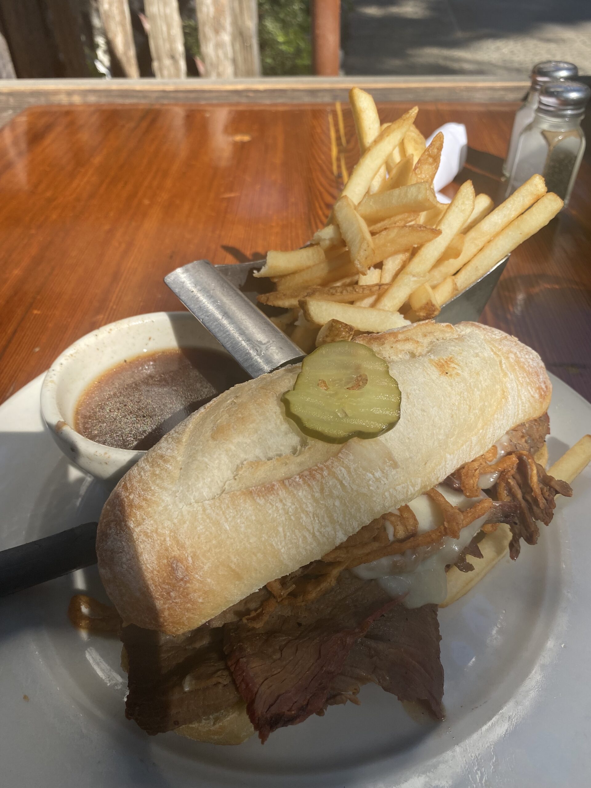
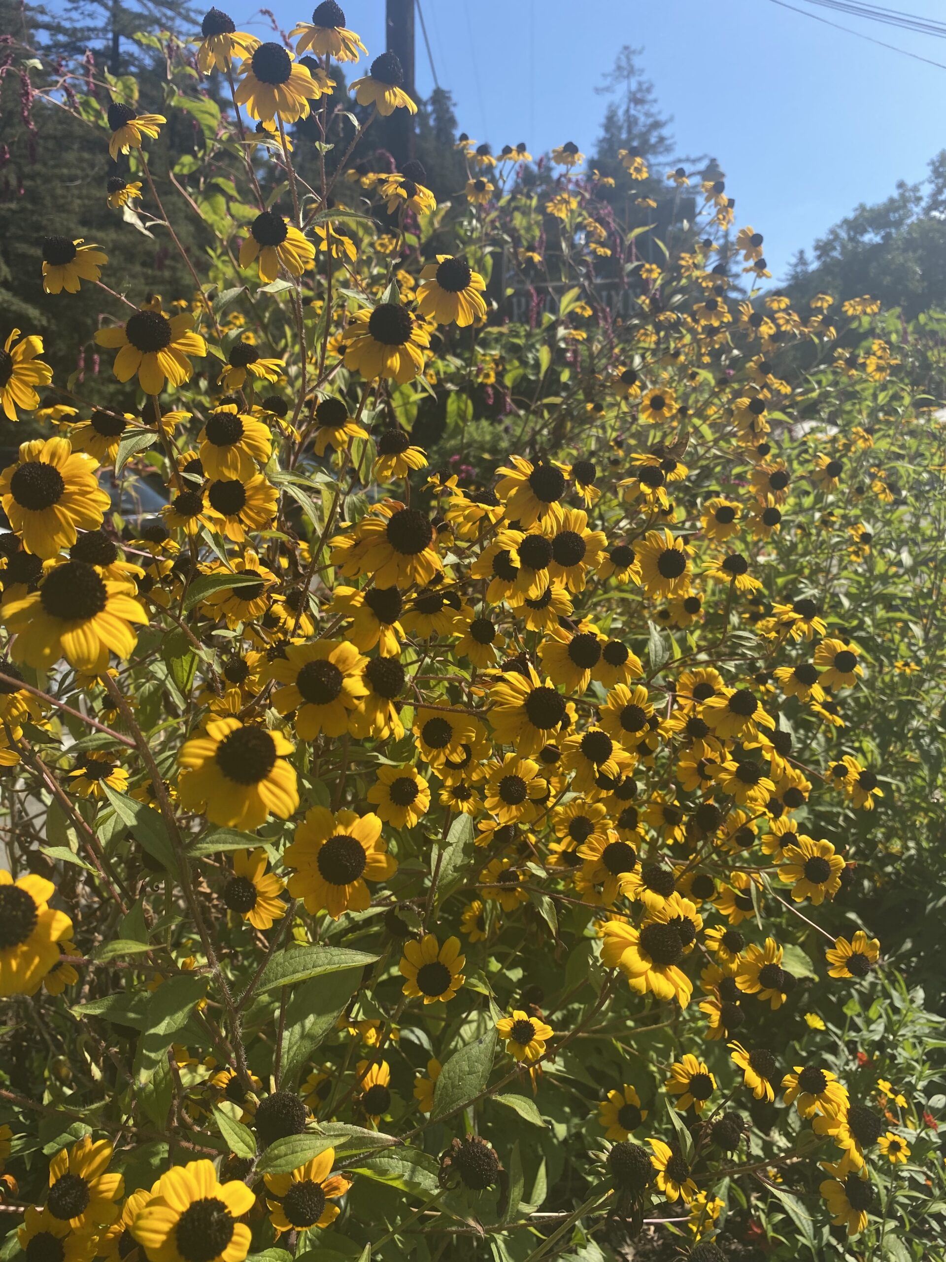
- I ended up eating at Big Sur River Inn. The address is 46800 CA-1, Big Sur, CA 93920. This place was relaxing for lunch and had good service. My food was good – would give it a 7.5/10. It has tons of seating (inside and outside) and really pretty grounds which makes for a nice break. I would go back and eat there again.
- I got here around 2:00 p.m.
- There are other options in that area (such as The Big Sur Roadhouse) so if you want to drive around to see other options, they are there.
5. Pfeiffer Falls Trail in Pfeiffer Big Sur State Park
Big Sur River Inn to Pfeiffer Big Sur State Park = 5 minute drive
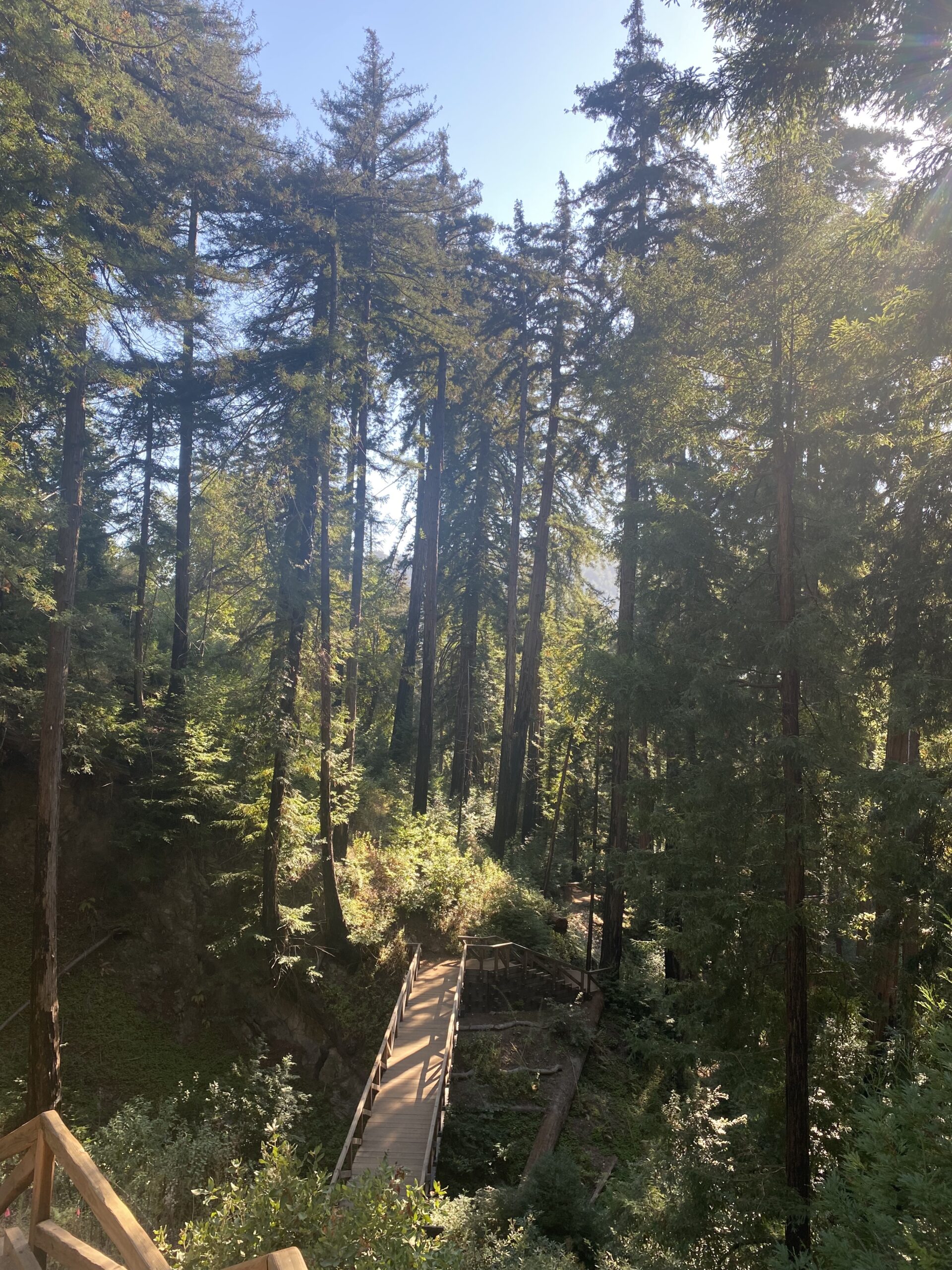
- I would skip this one unless you have a lot of time. I did enjoy seeing the huge Redwood trees at the Redwood Deck that is close to the entrance which I had never seen before and they were beautiful!
- I got here around 3:00 pm
- If you do decide to go, there are two trails I went on: Valley View Overlook and the Pfeiffer Falls
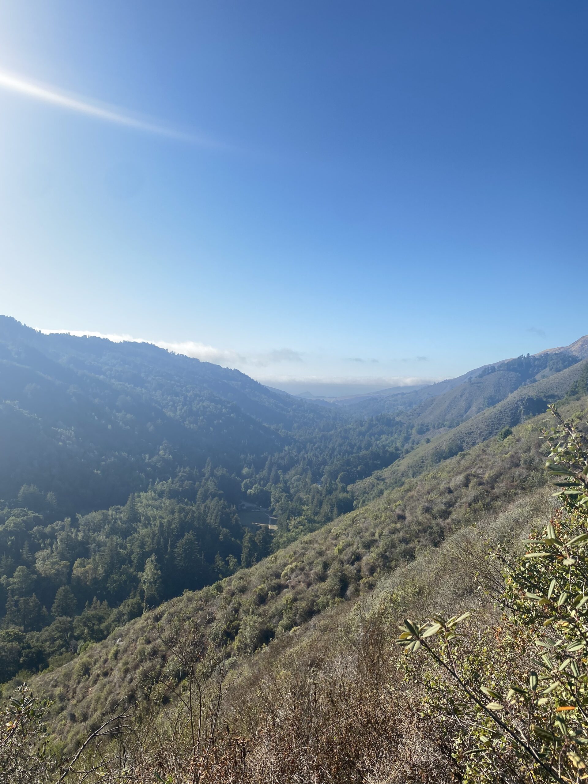
- I put ‘Pfeiffer Falls Trailhead’ into my map/GPS to get me to the general area. I ended up Parking in Day Use Lot #2 and then had to find my way to the trailhead which was about a 20 min walk. I walked through the redwood and oak area to a fork in the trail. Once at the fork, if you take a left, you’re on the way to the Valley View overlook (which I wished I skipped) – it is a LONG and STEEP hike. The view is nice but I wouldn’t do it again.
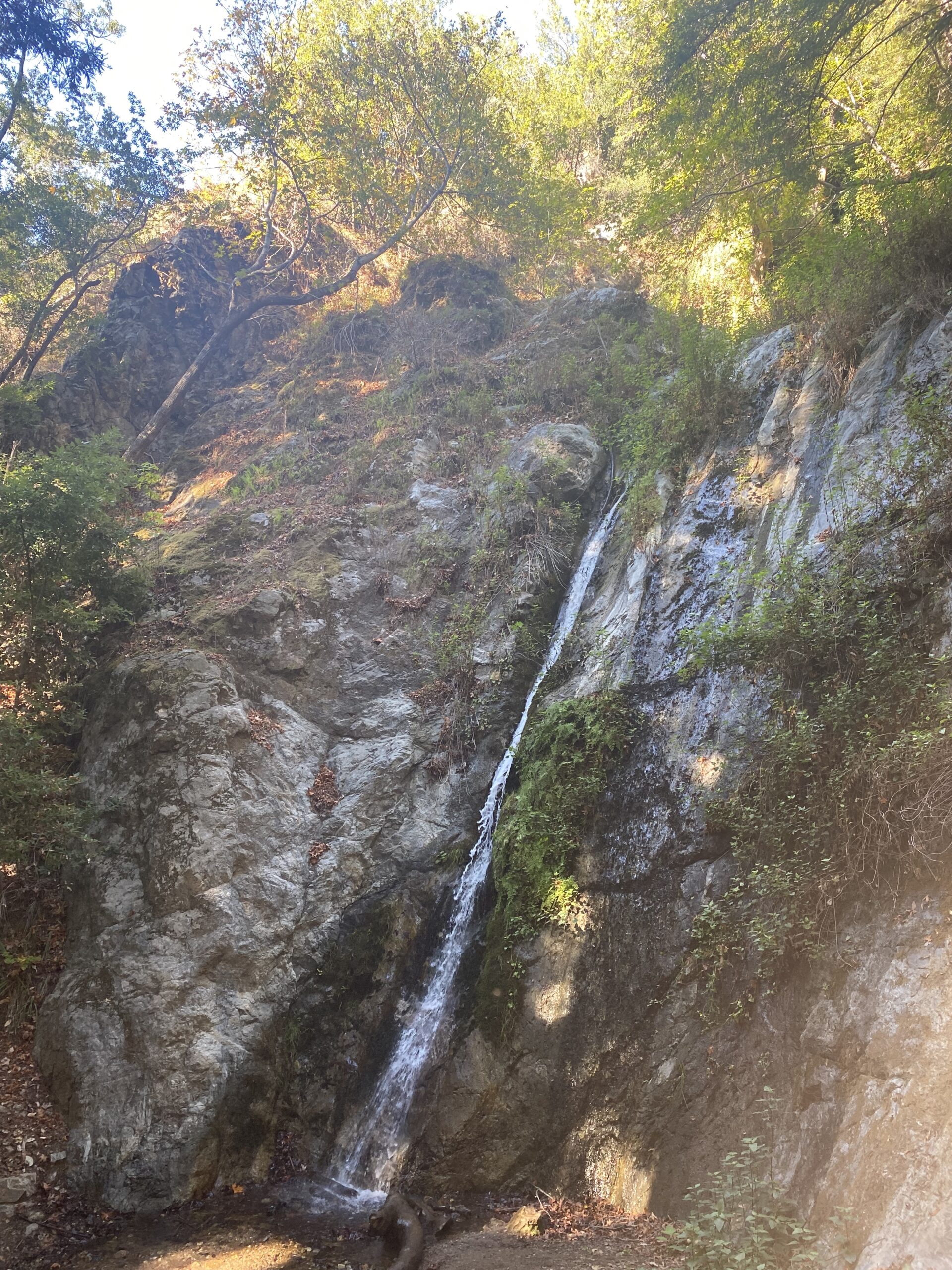
- For the falls, when at the fork mentioned above and you take a right, you’re on the way to Pfeiffer Falls which is a 60-foot waterfall. It is definitely pretty, but it was pretty scant – it could’ve been due to the fact that there was little to no rain so keep that in mind. I went to the Falls first (I got to the falls ~ 3:30 pm) and then went to Valley View Overlook (which I got to around 4:15 pm).


6. Pfeiffer Beach
Pfeiffer Big Sur State Park to Pfeiffer Beach = 15-minute drive
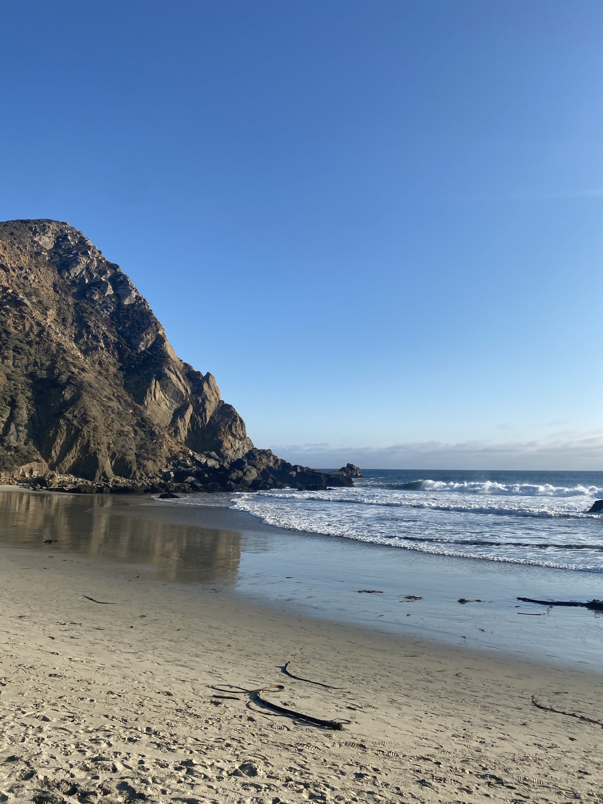
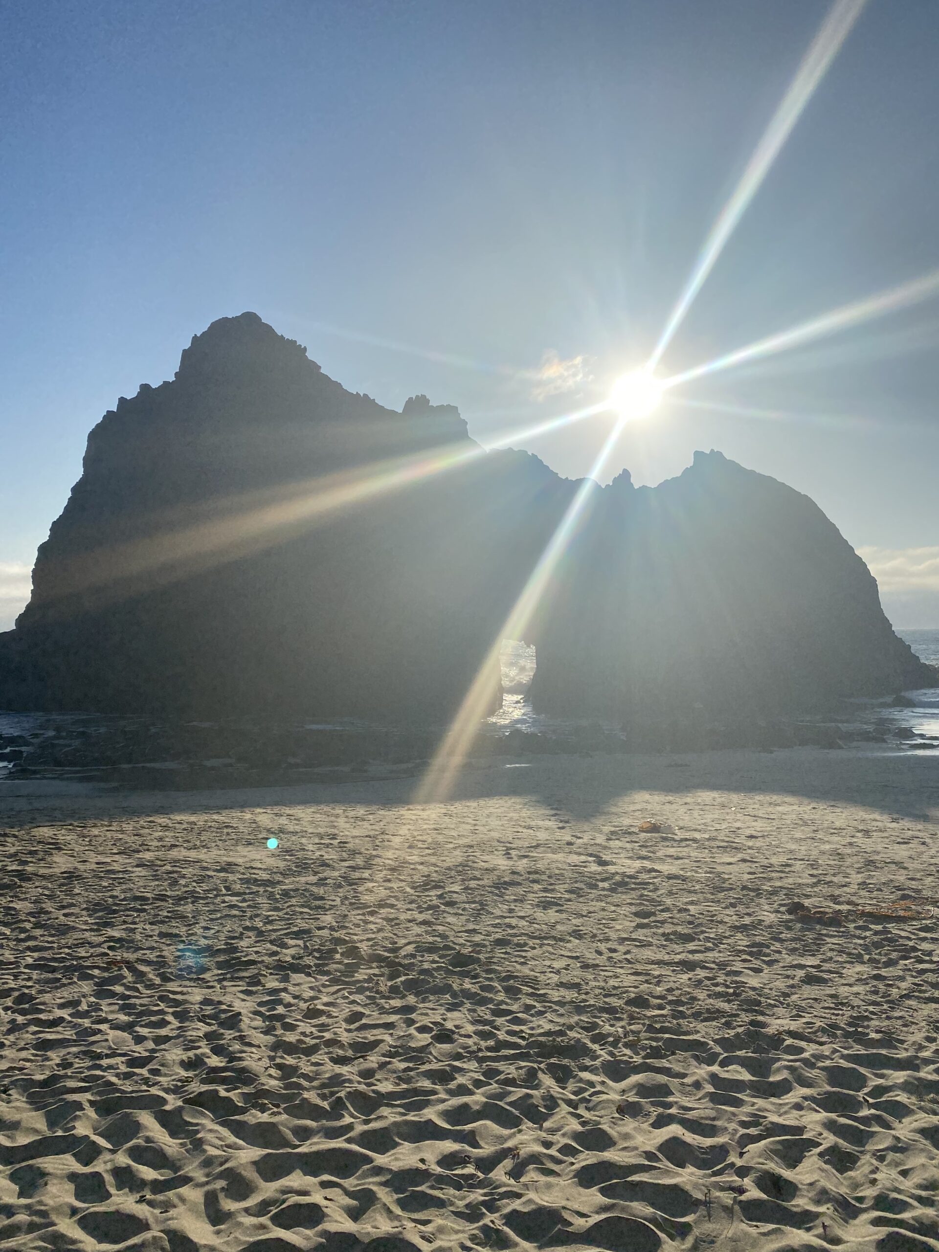
- This is a MUST and was my favorite! 10/10 would recommend going
- I got there around 5:00 pm.
- It can be a little tricky to find but put ‘Pfeiffer Beach Parking’ into your map/GPS. There will be a sharp turn on the right-hand side kind of covered by trees (no signage) but that’ll take you to Sycamore Canyon Road which leads down to Pfeiffer Beach. Look out for a yellow sign that says ‘Narrow Road No RVs or Trailers’ – Turn there and go down that road. It’ll be a long (~2 miles) and bumpy road down to the beach but keep going and you’ll get there. After you pay for parking at this little makeshift hut, park and walk through an area that’s covered in trees and you’ll get to the wonderful beach.


By the time I was done at Pfeiffer Beach, I had sadly run out of time. I could have made it to the next stops I had planned but I didn’t want to drive back on the windy road back to Monterey in the dark as the sun was going to set a little after 6 pm. However, here are the additional places I planned to visit:
- If I was hungry or needed a bathroom
- Nepenthe
- Big Sur Bakery
- Other Scenic Stops
- McWay Falls at Julia Pfeiffer Burns State Park ($10) which is about 30 minutes from Pfeiffer Beach
- Put ‘McWay Falls Parking’ into your map/GPS and there is a walkway from the parking lot to the waterfall (which is viewed from above – there is no access to the actual beach).
- Elephant Seal Vista Point
- Hearst Castle: 750 Hearst Castle Road, San Simeon, CA
- McWay Falls at Julia Pfeiffer Burns State Park ($10) which is about 30 minutes from Pfeiffer Beach
That was it! Although I missed McWay Falls I was SO HAPPY with how the day turned out. I was pretty tired though so I just went to In and Out Burger for dinner haha and it was the perfect end to the Big Sur adventure. The day after, I headed back to San Francisco with 24 hours to explore the city before heading back to the East Coast.
Can’t wait to drive down the Pacific Coast highway again.
